Alex★★★★★
Importing the boundary first saved the most time. I could start planning the house placement without tracing the parcel from a screenshot.
Cadastral import
Import a property boundary from cadastral or parcel data, then add the house, well, septic and dimensions.
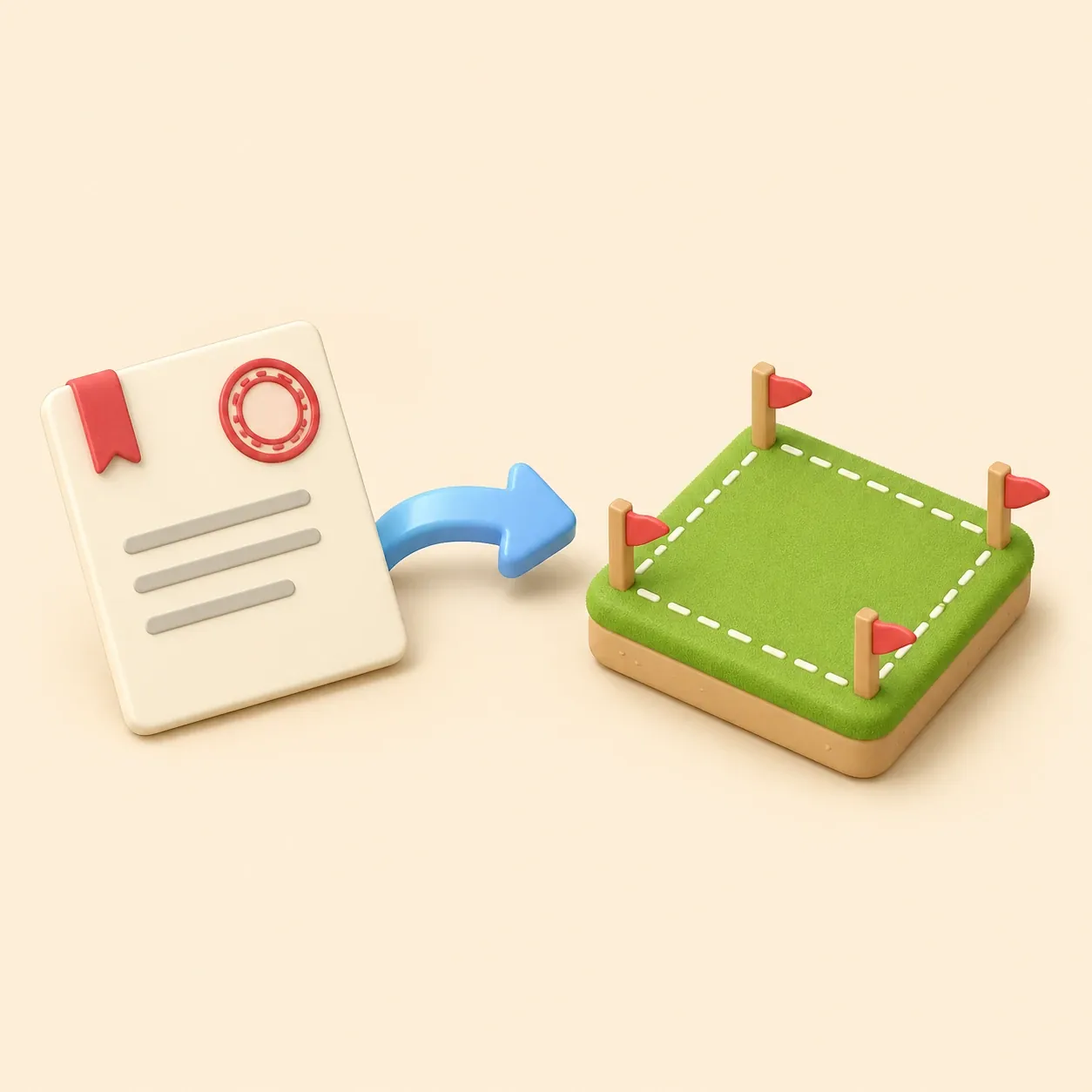
A property line map online is most useful when it begins with real parcel geometry. Gardmi lets you enter a cadastral or parcel number, import the property boundary when data is available and continue editing the plot in the browser.
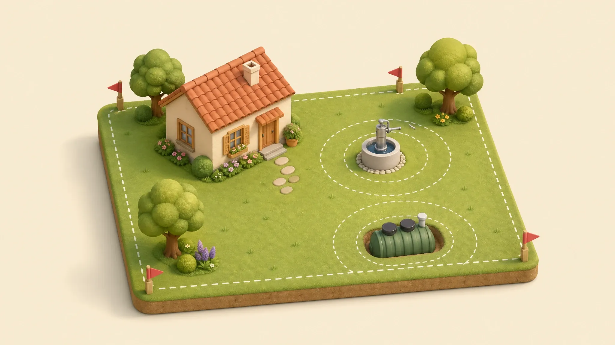
Use the preset when you need a fast cadastral map, a property boundary map for planning, or a clean starting point before placing a house, well, septic system, fence, paths and garden zones.
Importing the boundary first saved the most time. I could start planning the house placement without tracing the parcel from a screenshot.
The cadastral preset made the plan feel much more grounded because the lot shape was there from the beginning.
I used it to compare the house, driveway and septic options on the same property line map.
Start from cadastral or parcel data when the boundary can be loaded.
Move, label and measure objects after the property line map is created.
Add buildings, utilities, zones and notes on top of the same parcel outline.
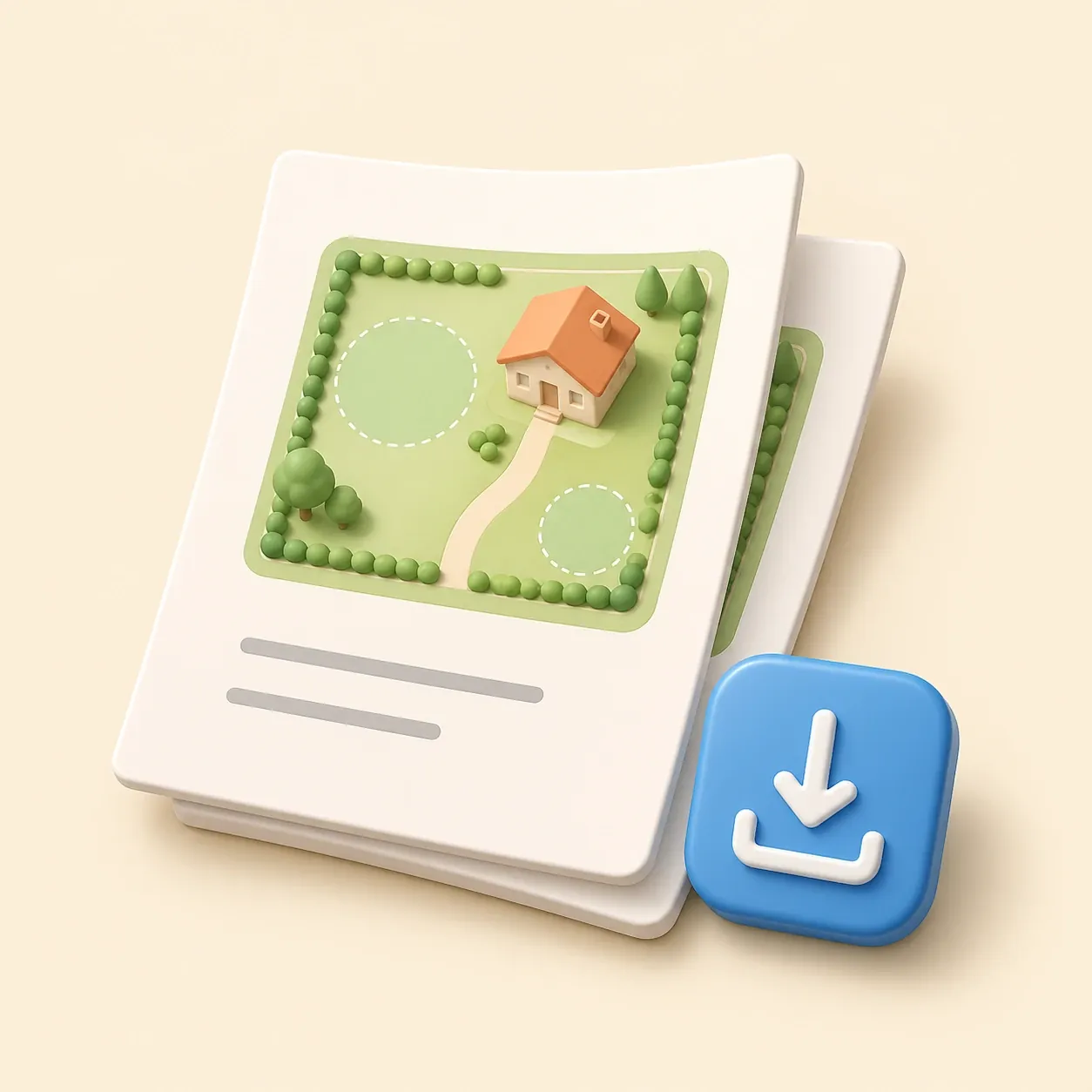
Keep the plan online and share a link instead of sending static screenshots back and forth.
Check how a house, driveway and service zones fit before detailed design starts.
Plan planting beds, paths and fences while seeing the actual parcel shape.
Share a simple property line map so contractors understand the site context faster.
 Site plan for building permit
Create a permit-ready plot plan with property data, building footprint, setbacks and an A4 printable sheet.
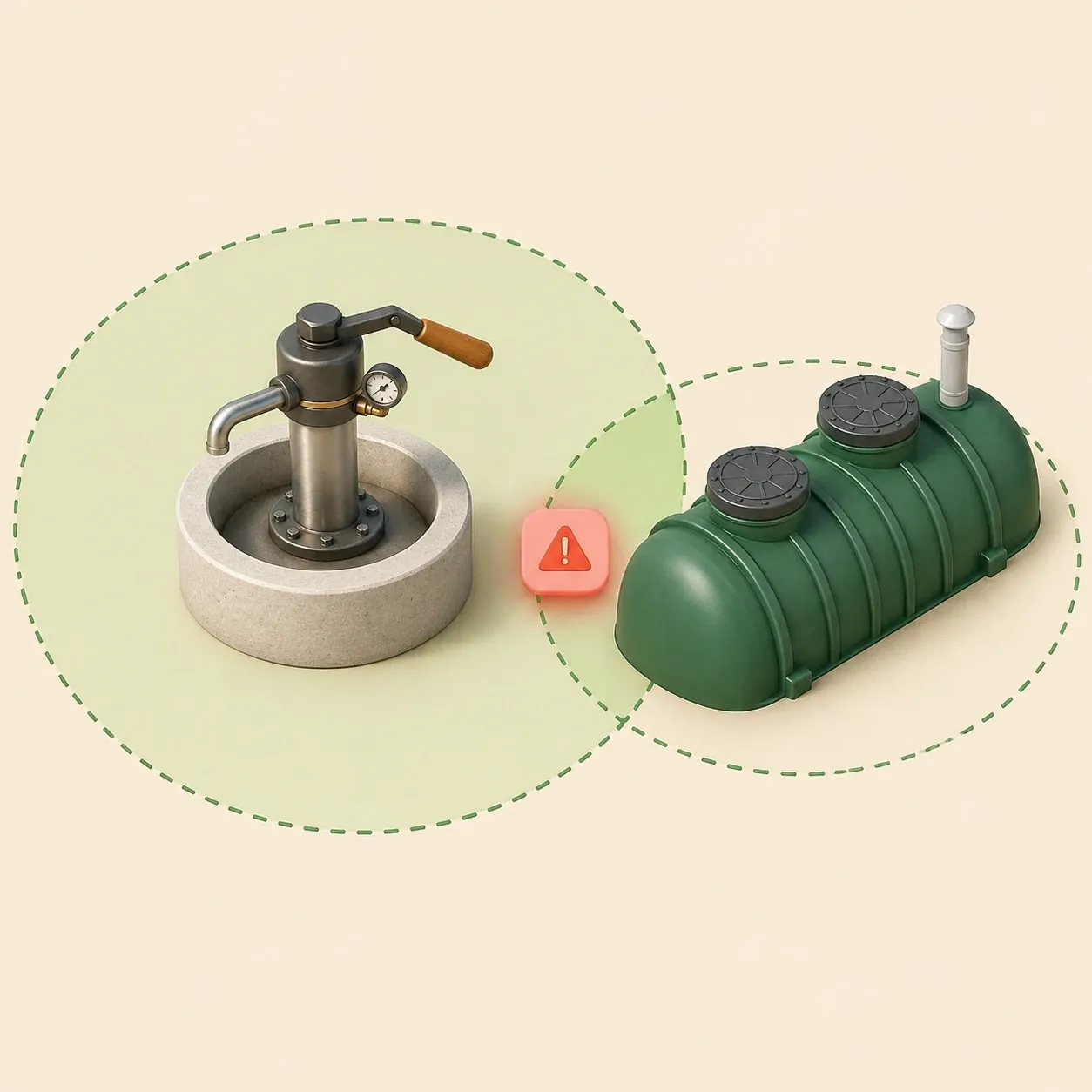
Septic and well distances
Check sanitary zones and conflicts before septic installation or well drilling.
Garden site planner
Open the full editor for a custom site layout.
Site plan for building permit
Create a permit-ready plot plan with property data, building footprint, setbacks and an A4 printable sheet.
Septic and well distances
Check sanitary zones and conflicts before septic installation or well drilling.
Garden site planner
Open the full editor for a custom site layout.
Yes, when parcel or cadastral data is available for the location. Gardmi uses the number as a fast starting point and opens an editable plan around the imported boundary.
No. It is useful for planning and communication, but it does not replace an official survey or legal boundary determination.
You can add buildings, fences, wells, septic systems, distance labels, notes, zones and printable frames.
You can still create a blank plan and draw the plot manually, then continue with the same editor tools.