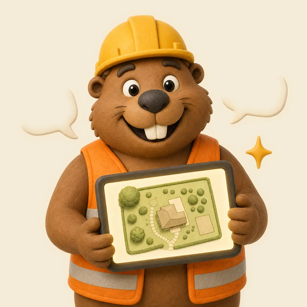
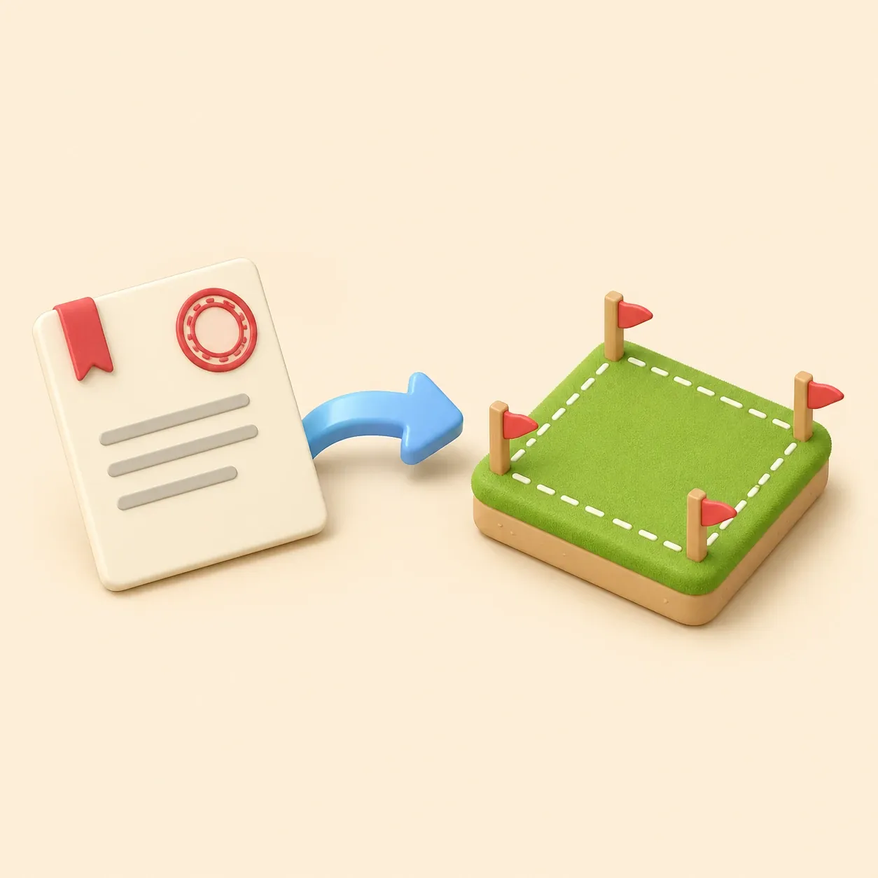
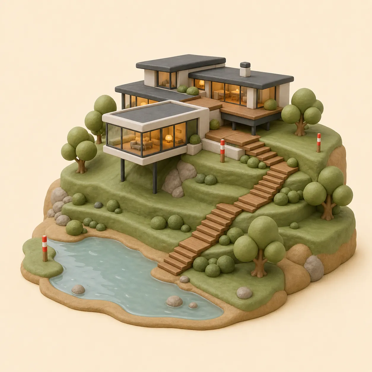
AI assistant draws the plan for you
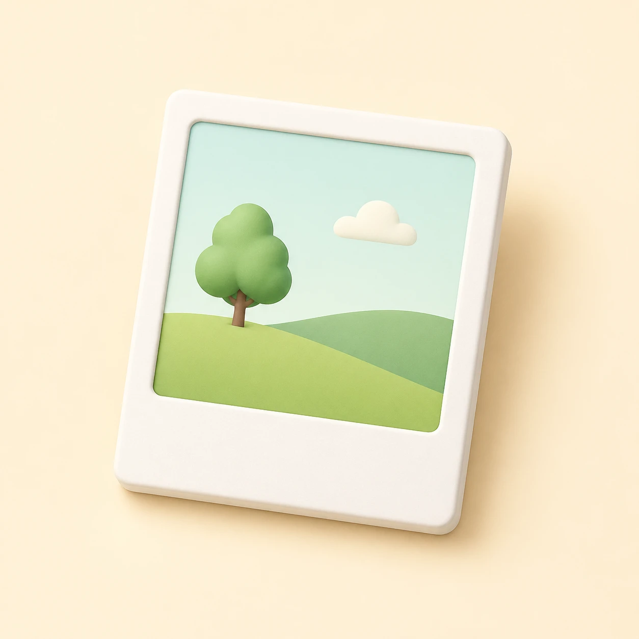
Describe your site in plain words — Bo draws an editable plot, house, garden and drainage plan. Add setback zones, verify them against local requirements, and adjust every object by hand.
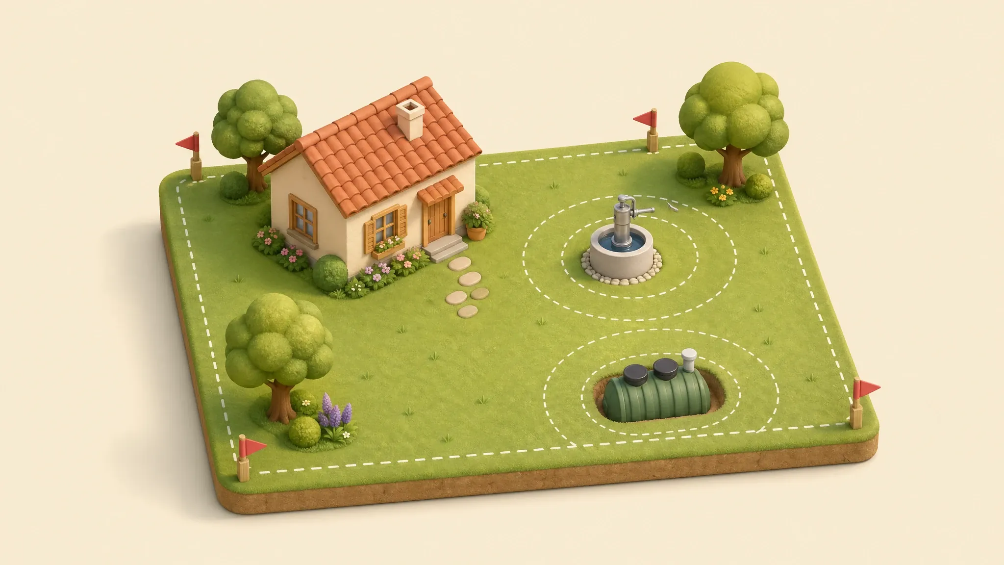
Draw a real-scale plot plan with the house, well, septic, utilities and sanitary distances — right in the browser.
Import, building notice or sanitary check — one click into the editor.
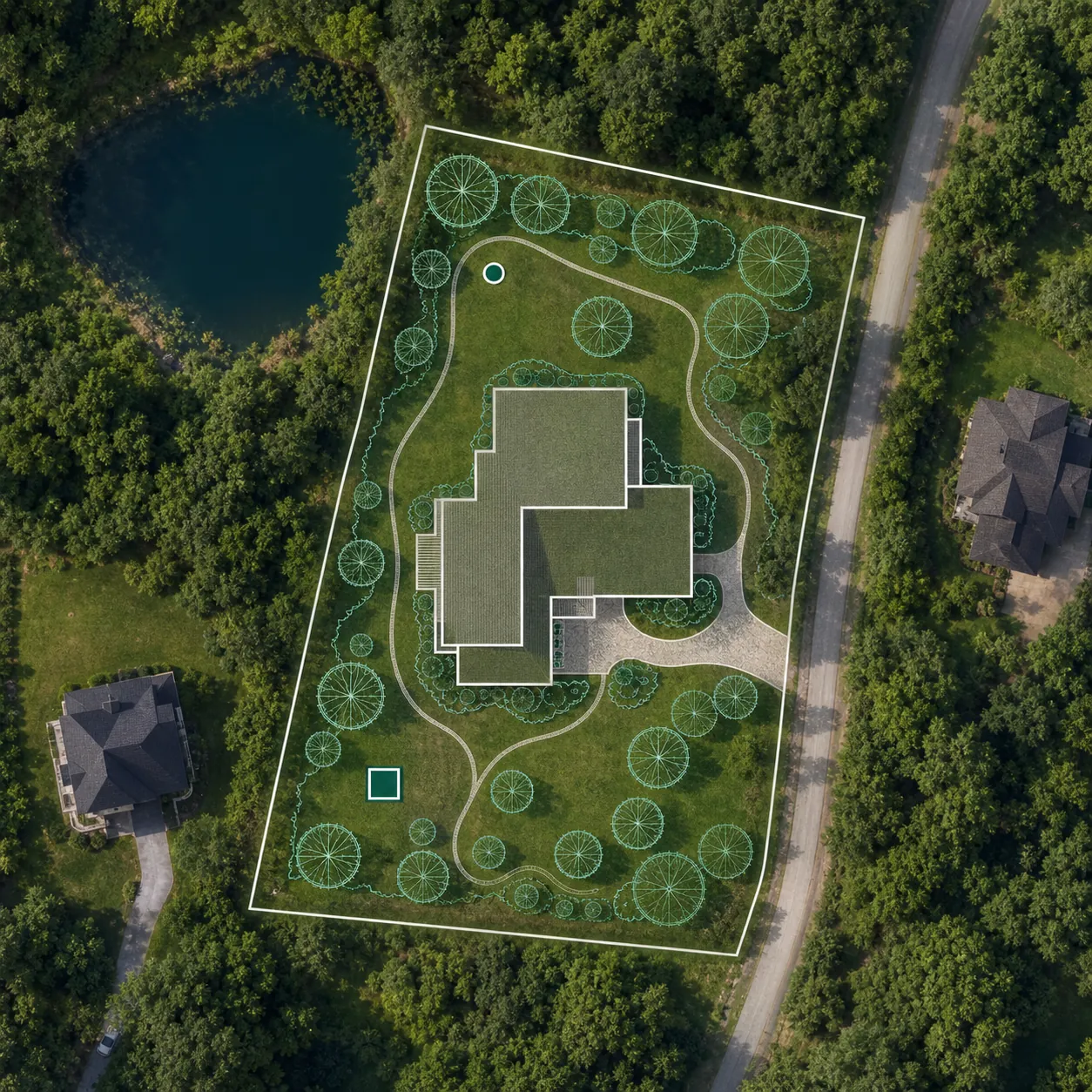
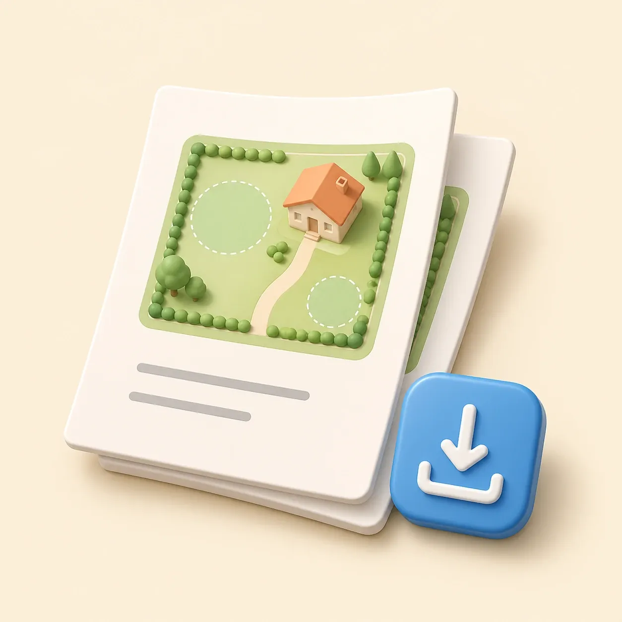 Site plan for building permit
Create a permit-ready plot plan with property data, building footprint, setbacks and an A4 printable sheet.
Create permit site plan
Cadastral import
Site plan for building permit
Create a permit-ready plot plan with property data, building footprint, setbacks and an A4 printable sheet.
Create permit site plan
Cadastral import
 Property line map by parcel number
Import a property boundary from cadastral or parcel data, then add the house, well, septic and dimensions.
Import property boundary
Distance check
Property line map by parcel number
Import a property boundary from cadastral or parcel data, then add the house, well, septic and dimensions.
Import property boundary
Distance check
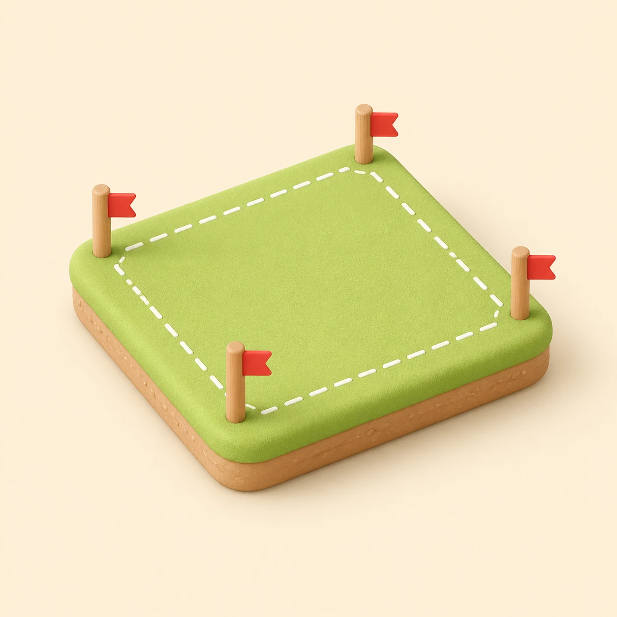
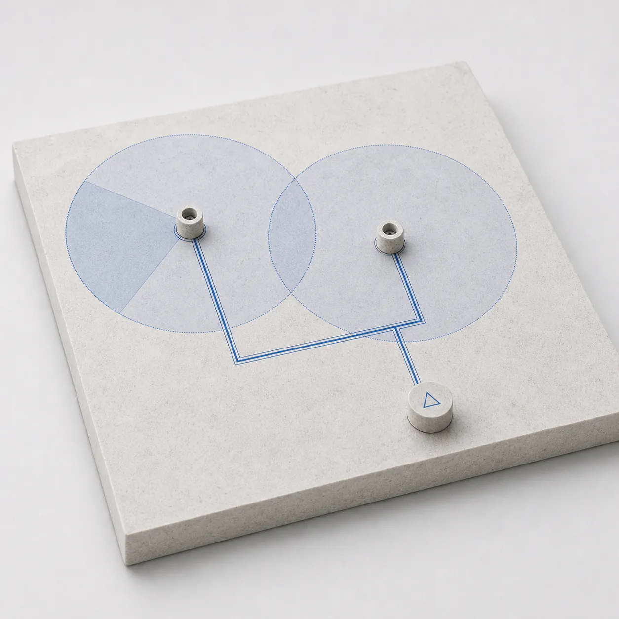
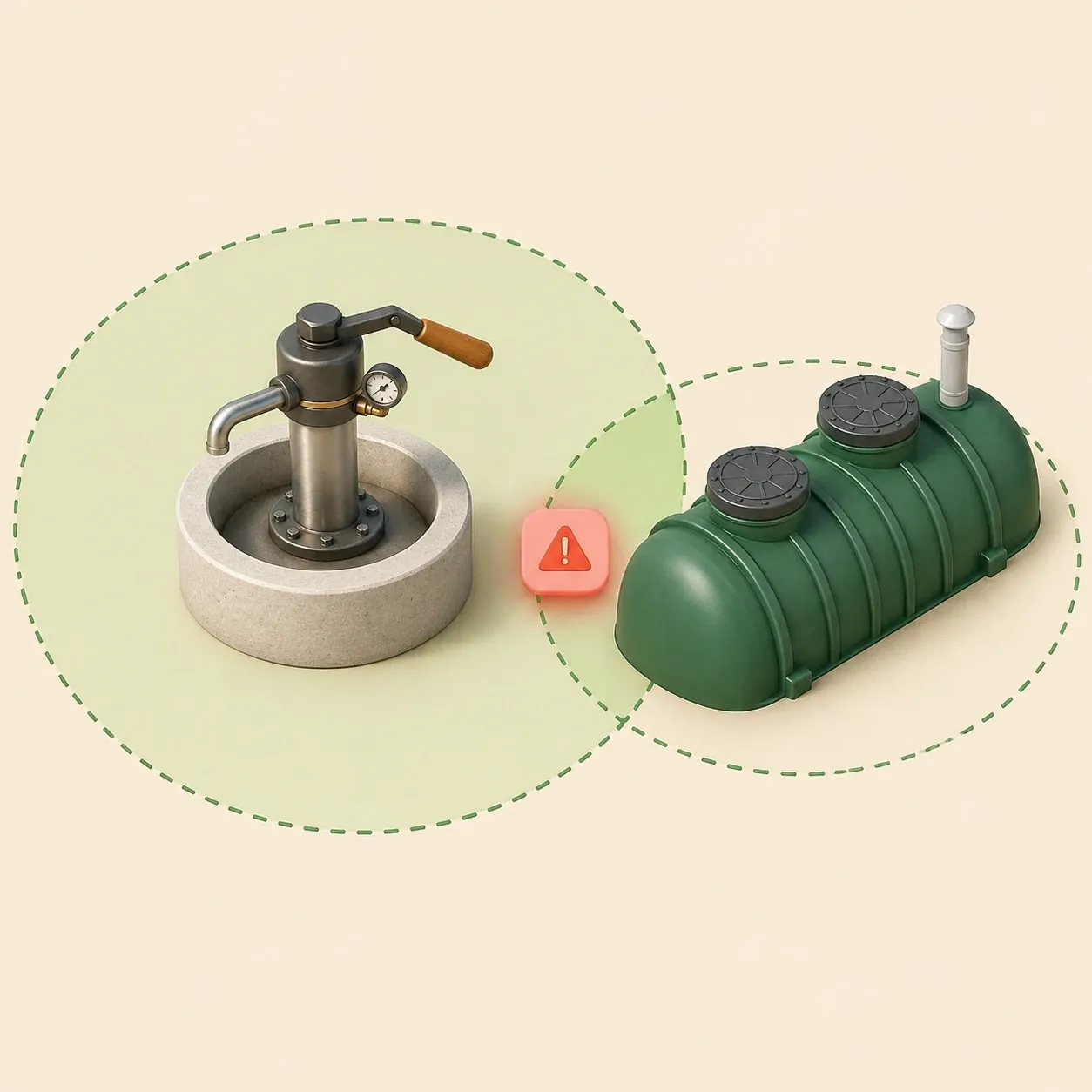 Septic and well distances
Check sanitary zones and conflicts before septic installation or well drilling.
Check distances
Septic and well distances
Check sanitary zones and conflicts before septic installation or well drilling.
Check distances
Drop a JPG or PDF of the topographic survey. It becomes a calibrated background layer.
Click two points with a known real distance. From now on every ruler shows real metres.
Drop the house, well, septic and utilities. Sanitary radii update live so you see violations early.
Send a link to your contractor, or download a clean PNG/PDF ready to print.
No CAD clutter — just what landowners and builders need before breaking ground.
Describe your site in plain words — Bo draws an editable plot, house, garden and drainage plan. Add setback zones, verify them against local requirements, and adjust every object by hand.
Wells, septics and utilities draw their sanitary radius automatically. Violations are highlighted in red so you spot them while planning, not after building.
Use a supported cadastral or parcel reference as an editable planning base. If local data is unavailable, draw the boundary or import a reference file, then verify it against official records or a land survey.
Print-ready PNG/PDF, one-click share links for view or edit, and cloud autosave with the last 20 versions kept.
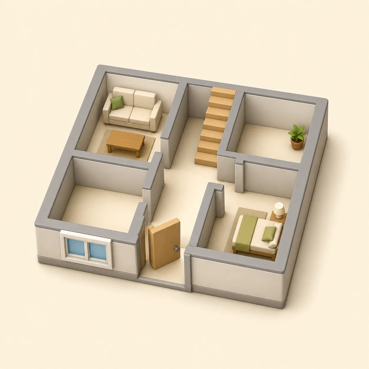
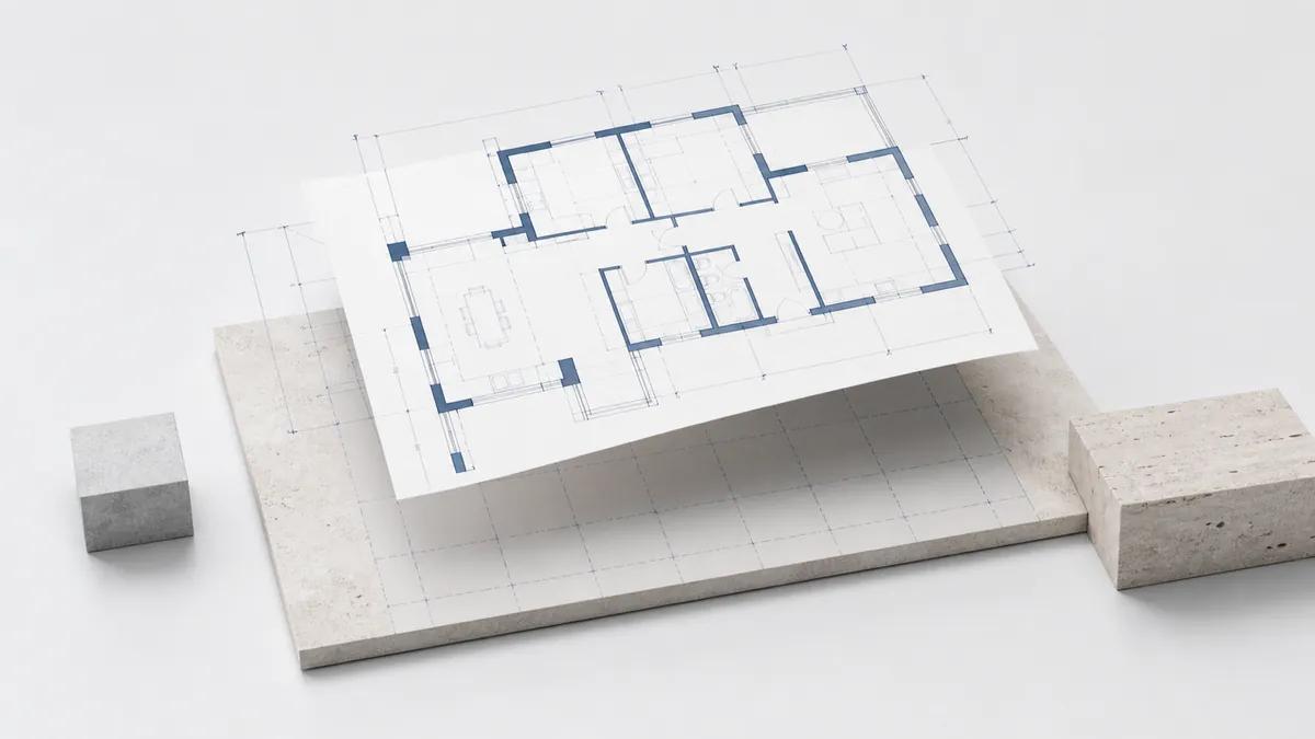
Draw walls, doors, windows, furniture and stairs in real metres. Keep apartment layouts, house floors, basement, roof and document boards separate, then stack everything in 3D.
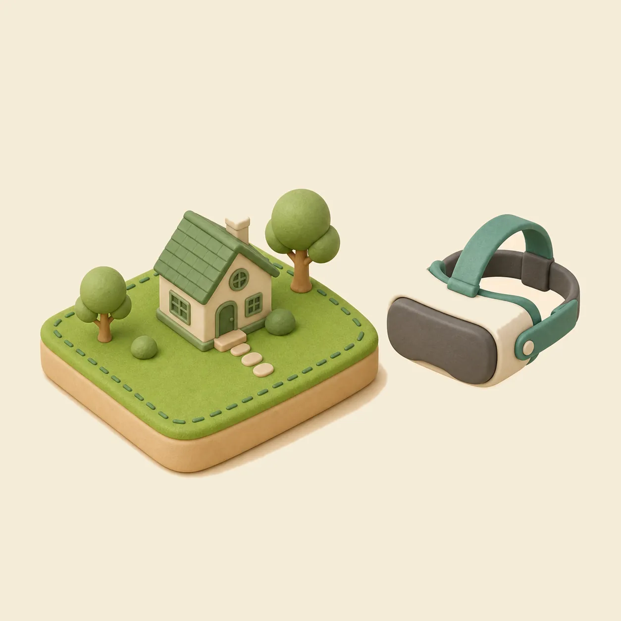
Switch the plan from 2D to a real 3D view in one click. Walk through the plot or house at eye level in the browser — with keyboard on desktop, a joystick on mobile, or a supported VR headset.
Place survey spot elevations and the 3D view builds the real ground relief through them. Set the construction zero mark and a water level — to simulate flooding, plan a house by a lake or design piers and footbridges over water.
Draw pipes, sprinklers and drip lines — gardmi shows each sprinkler's coverage, sums the water flow, picks pipe diameters, splits the system into zones and recommends a pump. Drainage checks the slope, depth and outlet the same way. Both end in a cost estimate.
Turn on a live satellite, hybrid or scheme map under the drawing, find your plot by address, and design seeing the real surroundings — forest, water, fields, neighbours, roads and views.
Designed the house in RemPlanner or a CAD app? Drop a .plan, DXF, SVG or JSON file onto gardmi — walls with real thickness and materials, rooms, columns and dimensions arrive ready, so you can place the house on the plot and plan everything around it.
The catalog shows mature height, crown diameter, root zone, watering, light and soil requirements — so plants on the plan stay tied to real planting constraints.
Open plant catalogEvery material in the editor has a catalog page: average prices per country, density, thermal conductivity and other passport values — the same data powers the project cost estimate.
Open the material catalogYes. The full editor — drawing, sanitary zones, autosave, sharing, PNG/PDF export — is free to use. No paywall, no trial timer.
No. You can start drawing immediately; your project is saved to the cloud and tied to your browser. Sign in only if you want to access projects from another device.
When a supported local data source is available, gardmi can use a cadastral or parcel reference as an editable planning start. Otherwise, draw the boundary or import a reference file. Always confirm legal boundaries against official records or a land survey.
Place the septic and well on the plan — sanitary radii draw automatically and violations turn red so you fix layout before construction.
Ready when you are
No download, no account, no card. Click and draw.
Open the editor